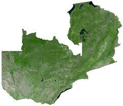
Environmental Expert Lovemore Muma has called on government through the Ministry of Green Economy and Environment to consider Geographic Information System (GIS) mapping of environmentally sensitive areas across the country.
Mr. Muma tells Flava News that the move will help in understanding the rate at which deforestation is happening and the growth of industries.
He adds that mapping will help in land use management and give accurate information to the Zambia Environmental Management Agency (ZEMA) when they conduct environmental impact assessments.
Mr. Muma states that ZEMA can use the GIS map and impose other maps given to the agency by individuals that want to develop their land.

